Investor brief · Grassland dMRV · 2026
The Digital Steppe
Verified Tier 3 carbon assets from Mongolia's rangelands — measured, modelled and shared with the herders who restore them.

01The problem
113 million hectares of Mongolian rangeland face green desertification. Restoration through rotational grazing works — but without credible, low-cost measurement it cannot be paid for, and herders carry the cost.
Carbon markets will fund restoration only when removals are measured, not modelled from defaults: Tier 3 data, independently verified.
02The solution
- Measure — Maxar satellite imagery, multispectral drones, NaturaSpec Ultra soil spectrometry and LI-COR flux chambers, calibrated against physical samples by the NUM soil lab and the MAS Institute of Botany.
- Process — an edge-to-cloud pipeline on Google Vertex AI (Random Forest and Vision Transformer models) builds a real-time national soil-carbon database. No generic LLMs; Mongolia keeps data sovereignty.
- Monetize — credits packaged under an International Carbon Registry (ICR) Tier 3 methodology and reported by API to national and international registries.
03Two zones, two value streams
Sequestration zone — Khentii, Tuv, Dundgovi and Dornod provinces. Rotational grazing restores soil carbon and generates verified credits for the voluntary market.
Conservation zone — Khustai National Park. Avoided-degradation monitoring feeds ecosystem data into Mongolia's NDC 3.0 and the Joint Crediting Mechanism with Japan.
04Rights & integrity
Carbon credits and ITMOs remain the property of landowners, herders and the State. Technology and methodology IP sit with the project developer (Aerobotek / DX Mongolia); revenue flows back to the camps that practise rotational grazing.
ISO 14065 audit · third-party VVB · public comment
05Why now
- UNCCD COP17 in Ulaanbaatar, Land Degradation Neutrality targets
- Paris Article 6.2 and the JCM with Japan
- One methodology and platform for 113M ha of rangeland
The ask: fund the $3M proof of concept
Grant & blended finance
Fund the PoC build-out: sensors, drones, field campaigns, methodology and audit.
Development partners, climate funds, foundations, JCM programmesCarbon pre-purchase
Commit to future verified credits from the pilot for early, predictable revenue.
Corporate buyers, carbon funds, Article 6 / JCM participantsImpact investment
Co-invest in the dMRV platform that can scale across Mongolia's rangelands and beyond.
Impact investors, climate-tech funds, strategic partners06Use of funds — $5M total
| dMRV tech & AIVertex AI, custom drones, NaturaSpec, LI-COR, API | $900k |
| Field data & operations100,000 ha, satellite imagery, NUM / MAS labs | $750k |
| Methodology & auditVVB, ISO 14065, ICR fees | $600k |
| Project management & legal | $450k |
| COP17 showcase, herder training, grazing pilots | $300k |
| Proof of concept | $3.0M |
| Herder incentive funddirect incentives & sustainable land management | $2.0M |
0724 months to verified credits
- Months 1–3Technology & preparationField baseline mapping, drone sensing, Vertex AI pipeline; ICR concept note and ISO 14065 audit started.
- COP17Live debutLive showcase at UNCCD COP17 in Ulaanbaatar.
- Months 4–12Validation & live MRVThird-party VVB audit, 30-day public comment, ICR Board Tier 3 approval, automated reporting.
- Months 13–24CommercializationVerified credit sales on ICR, revenue to herders, NDC 3.0 data handover to the government.
08Alliance
- DX Mongolia / Aerobotek
- Project developer — dMRV architecture, AI, custom drones, ICR certification. Led by B. Tuguldur.
- NUM Soil Laboratory
- Soil baselines, sample validation, NaturaSpec calibration. Ts. Soyol-Erdene PhD.
- Institute of Botany, MAS
- Species classification, degradation baselines, restoration tracking. I. Tuvshintogtokh PhD.
- Government & herder cooperatives
- Mandate, land-use authorization and rotational grazing on the ground.
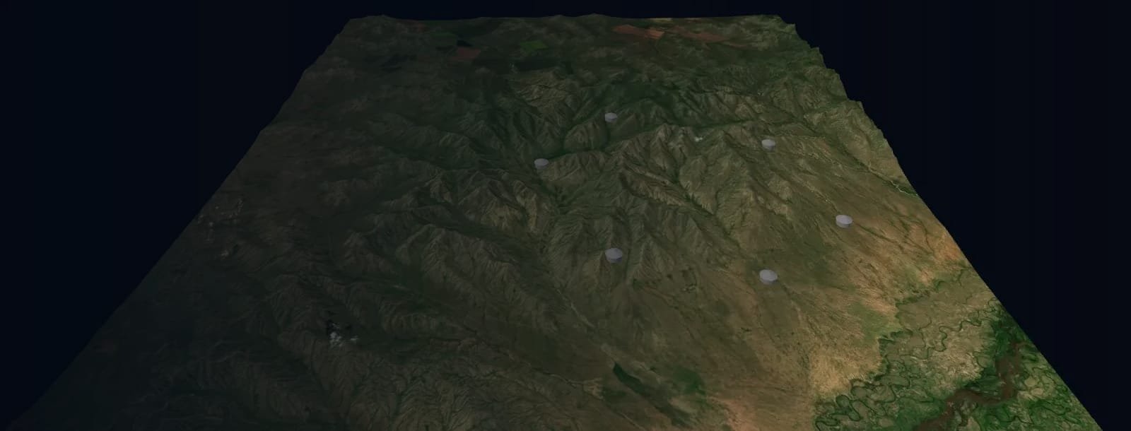
Cover image: 3D model built from Copernicus DEM GLO-30 (© DLR e.V. 2010–2014 and © Airbus 2014–2018, provided under COPERNICUS by the European Union and ESA) and modified Copernicus Sentinel-2 data (2024). Figures are from the DX Mongolia Grassland dMRV proposal; credit volumes and prices depend on the Tier 3 baseline and are not estimated here.